Kilauea volcano (Hawai’i): earthquake swarm in summit caldera caused by shallow magma intrusion

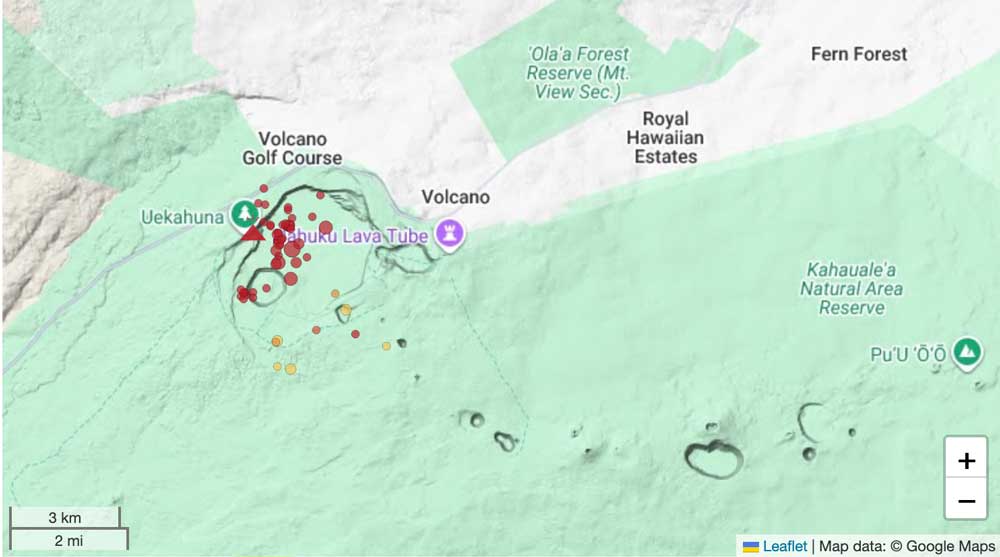
Earthquakes under Kilauea volcano's summit caldera

A shallow intrusion of magma is occurring within the summit region near the existing eruption location in Hawai’i Volcanoes National Park, the Hawaiian Volcano Observatory reported a short time ago:
„Earthquake activity has increased in the summit region of Kīlauea beneath Halemaʻumaʻu crater and the south caldera region. Ground deformation patterns recorded by summit tiltmeters suggest that magma is intruding beneath the ground in this area, in an east-west orientation, near the western or southern part of Halemaʻumaʻu crater.

Increased earthquake activity began this afternoon, September 30, 2026, at approximately 2 p.m. HST, underneath Halemaʻumaʻu. Since then, about 40 earthquakes have been detected and activity is still on-going. The largest event so far, a magnitude 3.4 earthquake, occurred at 9:52 p.m. HST, 1.4 km (0.9 miles) beneath the surface in the northeast part of Halemaʻumaʻu. Starting around 8 p.m. HST, summit tiltmeters began to show extremely rapid changes consistent with crack growth in an east-west orientation, possibly near the current vent area, suggesting that magma is intruding in this region.

Historically, east-west-trending fissures have erupted in the southeastern part of Halemaʻumaʻu and extended through the Keanakākoʻi crater area all the way to Chain of Craters Road near Lua Manu. The last east-west fissure in this area erupted in September 2023 and extended from the middle of Halemaʻumaʻu to the eastern wall just beneath the Keanakākoʻi overlook. An event of this type is also possible under current conditions.

Currently, there are no signs of a change at the surface as the existing eruptive vent complex in Halemaʻumaʻu, including the north and south vents, continues to intermittently spatter with strong glow and flames; however, conditions could change quickly. It is possible that this event ends without reaching the surface or it produces a fissure eruption in a new location within the summit caldera region.

Current activity is restricted to the summit region of Kīlauea. No anomalous activity has been detected in the East Rift Zone or Southwest Rift Zone.

The USGS Hawaiian Volcano Observatory is monitoring the situation closely and will issue additional messages as needed.“
Lewotolo Volcanic Ash Advisory: ash plume to 7,000 ft (2,100 m) as of Oct 1, 07:50 UTC

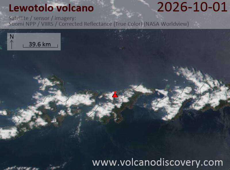
Satellite image of Lewotolo volcano on 1 Oct 2026

Explosive activity continues. The Volcanic Ash Advisory Center (VAAC) Darwin warned of a volcanic ash plume rising to an estimated 7000 ft (2100 m), or flight level 070.
Original VAAC bulletin:

FVAU04 at 08:08 UTC, 01/10/26 from ADRM
VA ADVISORY
DTG: 20261001/0810Z
VAAC: DARWIN
VOLCANO: LEWOTOLOK 264230
PSN: S0816 E12330
AREA: INDONESIA
SOURCE ELEV: 1423M AMSL
ADVISORY NR: 2026/295
INFO SOURCE: HIMAWARI-9
ERUPTION DETAILS: VA TO FL070 OBS AT 01/0750Z MOV WNW
OBS VA DTG: 01/0750Z
OBS VA CLD: SFC/FL070 S0818 E12331 - S0812 E12248 - S0755
E12247 - S0751 E12302 - S0815 E12332 MOV NW 15KT
FCST VA CLD +6 HR: 01/1350Z SFC/FL070 S0815 E12332 - S0819
E12331 - S0820 E12252 - S0807 E12248 - S0759 E12258
FCST VA CLD +12 HR: 01/1950Z SFC/FL070 S0815 E12332 - S0819
E12331 - S0821 E12244 - S0809 E12238 - S0757 E12250
FCST VA CLD +18 HR: 02/0150Z SFC/FL070 S0815 E12333 - S0819
E12332 - S0823 E12245 - S0808 E12236 - S0755 E12249
RMK: VA EMISSIONS IDENTIFIABLE ON SATELLITE IMAGERY.
EMISSIONS EXPECTED TO BE ONGOING. HEIGHT AND MOVEMENT BASED
ON RECENT SATELLITE IMAGERY AND MODEL GUIDANCE.
NXT ADVISORY: NO LATER THAN 20261001/1410Z=

Marapi Volcano Volcanic Ash Advisory: CVGHM REPORTED ERUPTION AT 01/0300Z EST VA DTG: 01/0320Z

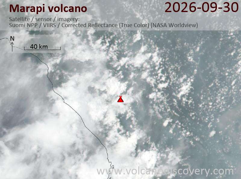
Satellite image of Marapi volcano on 1 Oct 2026

The Volcanic Ash Advisory Center (VAAC) Darwin issued the following bulletin.
Original VAAC bulletin:

FVAU06 at 03:38 UTC, 01/10/26 from ADRM
VA ADVISORY
DTG: 20261001/0338Z
VAAC: DARWIN
VOLCANO: MARAPI 261140
PSN: S0023 E10028
AREA: INDONESIA
SOURCE ELEV: 2885M AMSL
ADVISORY NR: 2026/84
INFO SOURCE: CVGHM
ERUPTION DETAILS: CVGHM REPORTED ERUPTION AT 01/0300Z
EST VA DTG: 01/0320Z
EST VA CLD: SFC/FL110 S0019 E10027 - S0023 E10033 - S0038
E10026 - S0034 E10012 - S0020 E10014 MOV SW 05KT
FCST VA CLD +6 HR: 01/0920Z NO VA EXP
FCST VA CLD +12 HR: 01/1520Z NO VA EXP
FCST VA CLD +18 HR: 01/2120Z NO VA EXP
RMK: ERUPTION REPORTED FROM GROUND. VA NOT OBSERVED ON
SATELLITE DUE TO MET CLOUD BUT ANY VA EMISSIONS LIKELY TO
DISSIPATE WITHIN 6 HOURS. FORECAST BASED ON MODEL GUIDANCE.
NXT ADVISORY: NO LATER THAN 20261001/0938Z=

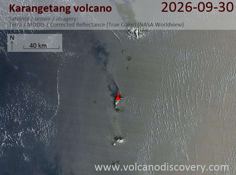
Karangetang Volcanic Ash Advisory: ash plume to 9,000 ft (2,700 m) as of Sep 30, 22:50 UTC

Satellite image of Karangetang volcano on 30 Sep 2026

Explosive activity continues. The Volcanic Ash Advisory Center (VAAC) Darwin warned of a volcanic ash plume rising to an estimated 9000 ft (2700 m), or flight level 090.
Original VAAC bulletin:

FVAU05 at 23:09 UTC, 30/09/26 from ADRM
VA ADVISORY
DTG: 20260930/2309Z
VAAC: DARWIN
VOLCANO: KARANGETANG 267020
PSN: N0247 E12524
AREA: INDONESIA
SOURCE ELEV: 1797M AMSL
ADVISORY NR: 2026/2
INFO SOURCE: HIMAWARI-9, CVGHM
ERUPTION DETAILS: VA TO FL090 OBS AT 30/2250Z MOV SE
OBS VA DTG: 30/2250Z
OBS VA CLD: SFC/FL090 N0247 E12524 - N0248 E12528 - N0244
E12530 - N0242 E12527 - N0243 E12524 MOV SE 05KT
FCST VA CLD +6 HR: 01/0450Z SFC/FL090 N0247 E12524 - N0248
E12531 - N0243 E12533 - N0239 E12530 - N0239 E12524
FCST VA CLD +12 HR: 01/1050Z SFC/FL090 N0247 E12524 - N0248
E12531 - N0243 E12533 - N0239 E12530 - N0239 E12523
FCST VA CLD +18 HR: 01/1650Z SFC/FL090 N0247 E12524 - N0249
E12531 - N0244 E12534 - N0239 E12531 - N0240 E12524
RMK: VA EMISSIONS OBS NEAR SUMMIT ON LATEST SATELLITE
IMAGERY. CVGHM INDICATED ERUPTIVE BEHAVIOUR IN PAST 12 HOURS
AND ASSUMED TO BE ONGOING. HEIGHT AND FORECAST BASED ON
GROUND REPORT, SATELLITE IMAGERY AND MODEL GUIDANCE.
NXT ADVISORY: NO LATER THAN 20261001/0509Z=

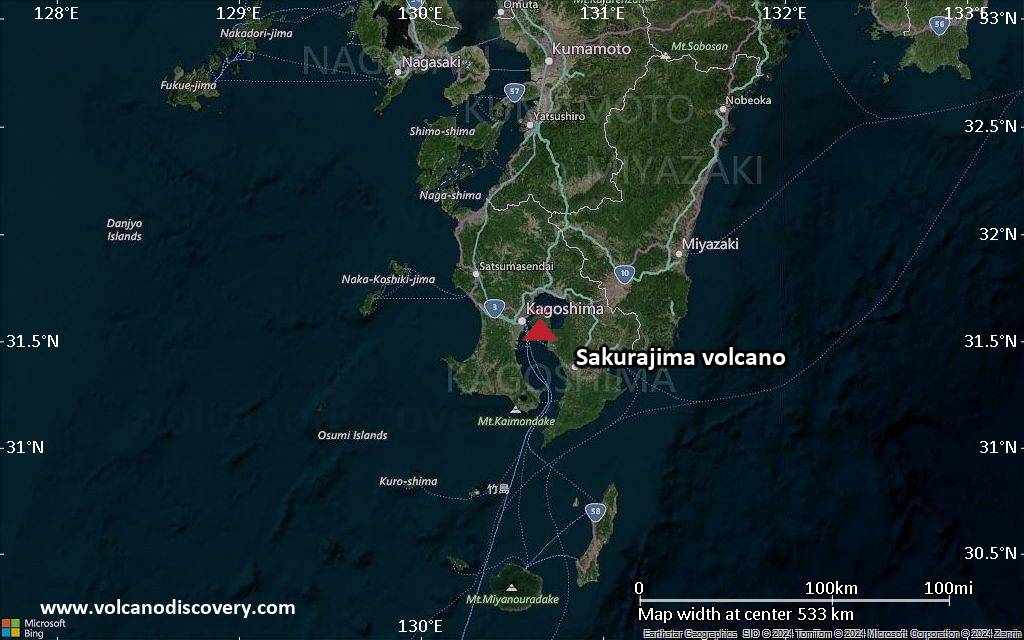
Sakurajima Volcanic Ash Advisory: ash not identifiable as of 30 Sep 2026, 17:20 UTC

An eruption was reported at Sakurajima at 17:15 UTC on 30 September 2026, but volcanic ash was not identifiable in satellite data as of 17:20 UTC. No further advisories are planned unless ash is detected.
Original VAAC bulletin:

FVFE01 at 17:50 UTC, 30/09/26 from RJTD
VA ADVISORY
DTG: 20260930/1749Z
VAAC: TOKYO
VOLCANO: SAKURAJIMA [AIRA CALDERA] 282080
PSN: N3136 E13039
AREA: JAPAN
SOURCE ELEV: 1117M AMSL
ADVISORY NR: 2026/255
INFO SOURCE: JMA HIMAWARI-9
ERUPTION DETAILS: ERUPTED AT 20260930/1715Z FL070 EXTD E
OBS VA DTG: 30/1720Z
OBS VA CLD: VA NOT IDENTIFIABLE FM SATELLITE DATA WIND FL070 290/8KT
FCST VA CLD +6 HR: NOT AVBL
FCST VA CLD +12 HR: NOT AVBL
FCST VA CLD +18 HR: NOT AVBL
RMK: WE WILL ISSUE FURTHER ADVISORY IF VA IS DETECTED IN SATELLITE
IMAGERY.
NXT ADVISORY: NO FURTHER ADVISORIES=