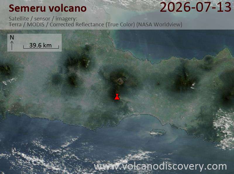
Explosive activity continues. Volcanic Ash Advisory Center (VAAC) Darwin warned about a volcanic ash plume that rose up to estimated 16000 ft (4900 m) altitude or flight level 160 .
The full report is as follows:
FVAU02 at 23:30 UTC, 13/07/26 from ADRM
VA ADVISORY
DTG: 20260713/2330Z
VAAC: DARWIN
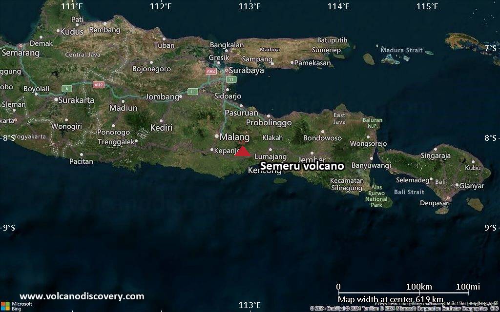
VOLCANO: SEMERU 263300
PSN: S0806 E11255
AREA: INDONESIA
SOURCE ELEV: 3657M AMSL
ADVISORY NR: 2026/797
INFO SOURCE: HIMAWARI-9, CVGHM, WEBCAM
ERUPTION DETAILS: VA TO FL160 OBS AT 13/2310Z MOV E
OBS VA DTG: 13/2310Z
OBS VA CLD: SFC/FL160 S0802 E11255 – S0757 E11328 – S0811
E11335 – S0822 E11324 – S0808 E11250 MOV E 10KT
FCST VA CLD +6 HR: 14/0510Z SFC/FL160 S0802 E11255 – S0810
E11327 – S0830 E11326 – S0836 E11307 – S0808 E11250
FCST VA CLD +12 HR: 14/1110Z SFC/FL160 S0802 E11255 – S0802
E11327 – S0828 E11328 – S0838 E11303 – S0808 E11250
FCST VA CLD +18 HR: 14/1710Z SFC/FL160 S0802 E11255 – S0812
E11326 – S0833 E11324 – S0838 E11304 – S0808 E11250
RMK: MULTIPLE DISCRETE VA EMISSIONS IDENTIFIABLE ON
SATELLITE IMAGERY. GROUND REPORTS INDICATE INTERMITTENT
ERUPTIONS ARE ONGOING. VA HEIGHT AND MOVEMENT BASED ON
SATELLITE IMAGERY, GROUND REPORTS AND MODEL GUIDANCE.
NXT ADVISORY: NO LATER THAN 20260714/0530Z=