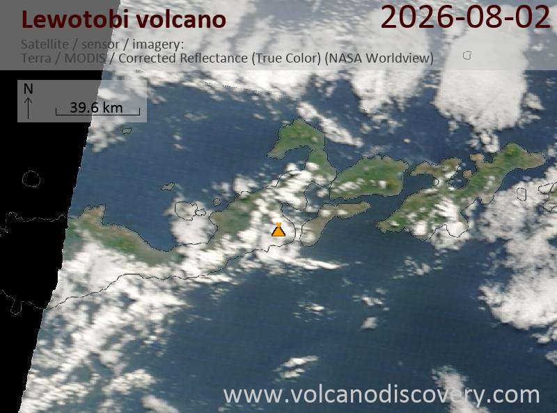
Explosive activity continues. Volcanic Ash Advisory Center (VAAC) Darwin warned about a volcanic ash plume that rose up to estimated 9000 ft (2700 m) altitude or flight level 090 .
The full report is as follows:
FVAU04 at 18:18 UTC, 02/08/26 from ADRM
VA ADVISORY
DTG: 20260802/1820Z
VAAC: DARWIN
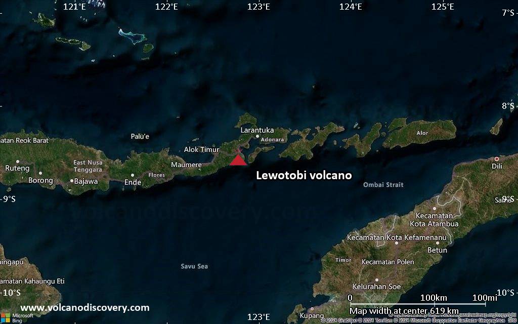
VOLCANO: LEWOTOBI 264180
PSN: S0833 E12246
AREA: INDONESIA
SOURCE ELEV: 1703M AMSL
ADVISORY NR: 2026/329
INFO SOURCE: HIMAWARI-9, CVGHM
ERUPTION DETAILS: VA TO FL090 REPORTED AT 02/1601Z MOV W TO
SW
EST VA DTG: 02/1800Z
EST VA CLD: SFC/FL090 S0836 E12252 – S0850 E12225 – S0828
E12159 – S0800 E12209 – S0758 E12244 – S0827 E12255 MOV W
05KT
FCST VA CLD +6 HR: 03/0000Z SFC/FL090 S0835 E12252 – S0851
E12220 – S0829 E12200 – S0802 E12210 – S0758 E12243 – S0825
E12256
FCST VA CLD +12 HR: 03/0600Z SFC/FL090 S0835 E12253 – S0858
E12222 – S0832 E12156 – S0800 E12209 – S0757 E12245 – S0825
E12256
FCST VA CLD +18 HR: 03/1200Z SFC/FL090 S0835 E12253 – S0906
E12229 – S0836 E12157 – S0807 E12209 – S0757 E12245 – S0825
E12256
RMK: VA NOT IDENTIFIABLE ON LATEST SATELLITE IMAGERY, LAST
OBS AT 02/0950Z MOV W. GROUND REPORTS INDICATE DISCRETE VA
EMISSIONS ARE ONGOING. VA HEIGHT AND MOVEMENT BASED ON
GROUND REPORTS AND MODEL GUIDANCE.
NXT ADVISORY: NO LATER THAN 20260803/0020Z=