
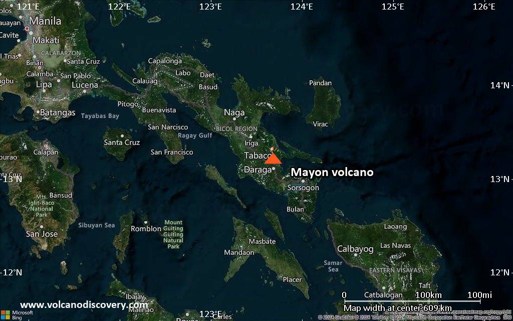
Mayon Volcano Volcanic Ash Advisory: ERUPTION AT 20260218/1832Z VA CLD UNKNOWN REPORTED OBS VA DTG: 18/1850Z

Volcanic Ash Advisory Center Tokyo (VAAC) issued the following report:

FVFE01 at 19:02 UTC, 18/02/26 from RJTD
VA ADVISORY
DTG: 20260218/1902Z
VAAC: TOKYO
VOLCANO: MAYON 273030
PSN: N1315 E12341
AREA: PHILIPPINES
SOURCE ELEV: 2462M AMSL
ADVISORY NR: 2026/194
INFO SOURCE: HIMAWARI-9 PHIVOLCS
ERUPTION DETAILS: ERUPTION AT 20260218/1832Z VA CLD UNKNOWN REPORTED
OBS VA DTG: 18/1850Z
OBS VA CLD: VA NOT IDENTIFIABLE FM SATELLITE DATA WIND FL180 120/8KT
FCST VA CLD +6 HR: NOT AVBL
FCST VA CLD +12 HR: NOT AVBL
FCST VA CLD +18 HR: NOT AVBL
RMK: WE WILL ISSUE FURTHER ADVISORY IF VA IS DETECTED IN SATELLITE
IMAGERY.
NXT ADVISORY: NO FURTHER ADVISORIES=
Dukono Volcano (Indonesia) activity update Feb 17, 2026 – Continuing eruption

The Center for Volcanology and Geological Hazard/Pusat Vulkanologi dan Mitigasi Bencana Geologi (CVGHM/PVMBG) reported that the eruption continued at Dukono on 17 February 2026 (local). Gas and vapor plume(s) rose to a maximum of 300 m (984 ft) above the vent. There was 1 seismically detected explosion reported. The seismograph malfunctioned. The alert level remained at „Level 2 – Alert“ (on a 4-level scale).
Source: Center for Volcanology and Geological Hazard/Pusat Vulkanologi dan Mitigasi Bencana Geologi (CVGHM/PVMBG)

Current Alerts:
Observatory alert level: „Level 2 – Alert“ (on a 4-level scale)
Aviation Alert Level: unavailable or not collected

Adapted from: Smithsonian / USGS Daily Volcanic Activity Report for Feb 17, 2026

Fuego Volcano (Guatemala) activity update Feb 17, 2026 – Continuing eruption

The Instituto Nacional de Sismología, Vulcanología, Meteorología e Hidrología (INSIVUMEH) reported that the eruption continued at Fuego between 16 February 2026 (local) and 17 February 2026 (local). There were explosions reported, occurring at a rate of up to 10 per hour, with plumes rising to a maximum of 1,037 m (3,402 ft) above the vent. Some explosions ejected incandescent material up to 250 m above the crater rim.
Source: Instituto Nacional de Sismología, Vulcanología, Meteorología e Hidrología (INSIVUMEH)

Current Alerts:
Observatory alert level: unavailable or not collected
Aviation Alert Level: unavailable or not collected

Adapted from: Smithsonian / USGS Daily Volcanic Activity Report for Feb 17, 2026

Marapi Volcano Volcanic Ash Advisory: VA REP TO FL110 AT 18/0353Z EST VA DTG: 18/0430Z

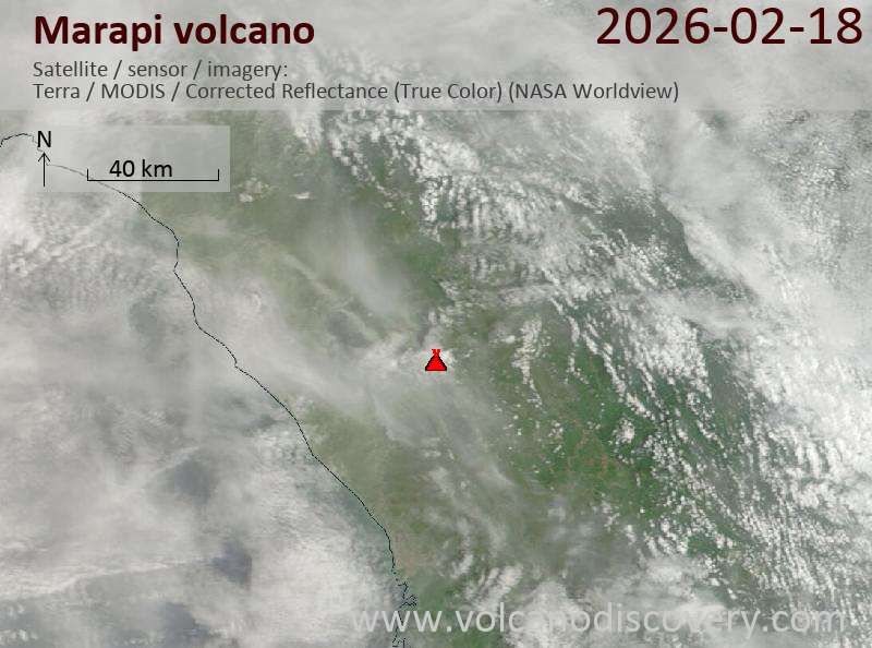
Satellite image of Marapi volcano on 18 Feb 2026

Volcanic Ash Advisory Center Darwin (VAAC) issued the following report:

FVAU03 at 04:56 UTC, 18/02/26 from ADRM
VA ADVISORY
DTG: 20260218/0455Z
VAAC: DARWIN
VOLCANO: MARAPI 261140
PSN: S0023 E10028
AREA: INDONESIA
SOURCE ELEV: 2885M AMSL
ADVISORY NR: 2026/34
INFO SOURCE: HIMAWARI-9, CVGHM
ERUPTION DETAILS: VA REP TO FL110 AT 18/0353Z
EST VA DTG: 18/0430Z
EST VA CLD: SFC/FL110 S0030 E10016 – S0013 E10017 – S0006
E10050 – S0021 E10109 – S0039 E10054 MOV E 15KT
FCST VA CLD +6 HR: 18/1030Z NO VA EXP
FCST VA CLD +12 HR: 18/1630Z NO VA EXP
FCST VA CLD +18 HR: 18/2230Z NO VA EXP
RMK: VONA RECEIVED INDICATING ERUPTION AT SUMMIT, HOWEVER
DUE TO MET CLOUD, REMAINS UNIDENTIFIABLE ON SATELLITE IMG.
VA PLUME SLIGHTLY OBS ON WEBCAM IMG. VA HEIGHT AND FORECAST
BASED ON LATEST GROUND REPORT AND MODEL GUIDANCE. VA
EXPECTED TO DISSIPATE WITHIN NEXT 6 HOURS.
NXT ADVISORY: NO LATER THAN 20260218/1055Z=

Mayon volcano (Philippines): continuing lava flows

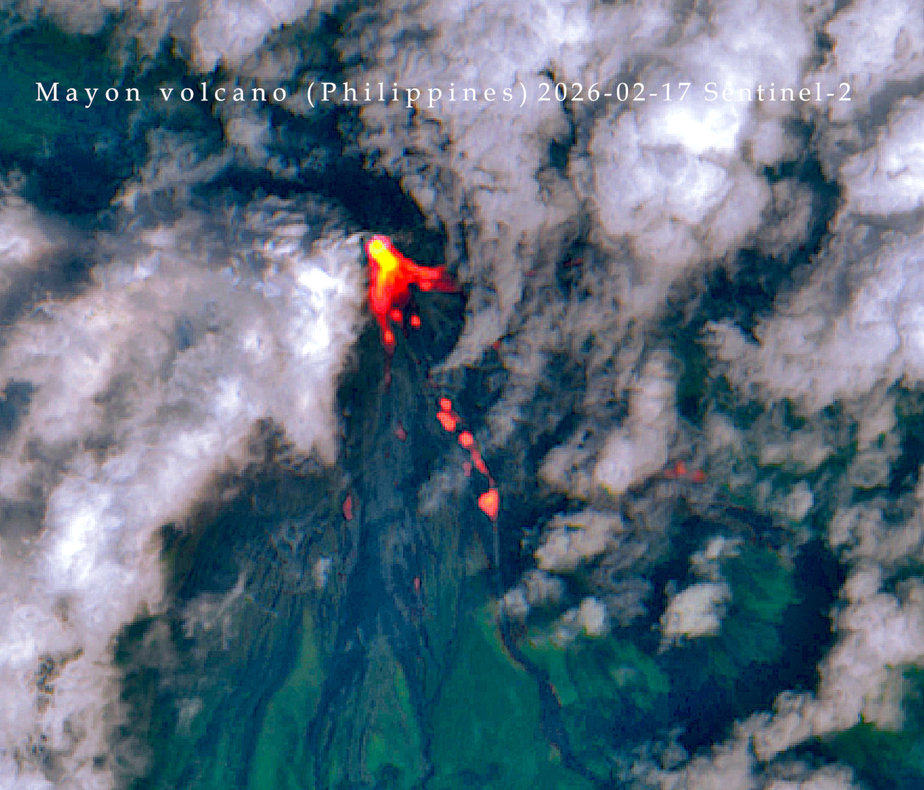
Several lava flows continue to travel over the southern and eastern slopes (image: Sentinel-2, processed by Martin Kelko)

Several lava flows continue to travel over the southern and eastern slopes (image: Sentinel-2, processed by Martin Kelko)

The elevated effusive eruption at the volcano continues.

The Sentinel-2 satellite acquisition over the volcano on 17 February confirmed that multiple lava flows continue to emerge from the summit cone. descending mainly over the eastern and southern flanks.

The southern branches are currently about 1,79 km long, and the eastern one approx. 2,42 km.