
Glacierized volcanoes, hosting one or more glaciers, can be found at all latitudes and pose unique risks to human populations, particularly the 160 million people that live within 100km of a glacierized volcano.
When volcanism occurs in glaciated settings, a range of destructive hazards may transpire including volcanic mudflows (lahars), volcanic ash clouds and glacial outburst floods commonly referred to as jökulhlaups. Therefore, it is prevalent to research and distinguish the locations of these glacierized volcanoes to minimise future risk.
A new database has been created by Edwards, Kochtitzky and Battersby, published in Global and Planetary Change. This was achieved by combining glaciology and volcanology databases, specifically the Smithsonian Global Volcanism Database (SGVD) to identify Holocene volcano locations and the Randolph Glacier Inventory 6.0 (RGI) to analyse glacial boundaries. GIS was then used to visually output these datasets. To reduce errors caused by map projection distortion, all analyses were done with the PostGIS geography data type to do calculations on the spheroid. For detailed methodology, see article link below.
Compiling this merged database allowed Edwards et al. to identify volcanoes where populations, glacier volumes and number of documented eruptions intersect and by applying a simple ranking system, the 10 most dangerous glacierized volcanoes on Earth could be identified. Results indicated a total of 837 glaciers (exc. Antarctic Ice Sheet) are most vulnerable to a volcanic event as they exist within 1km of a vent identified by the SGVD.
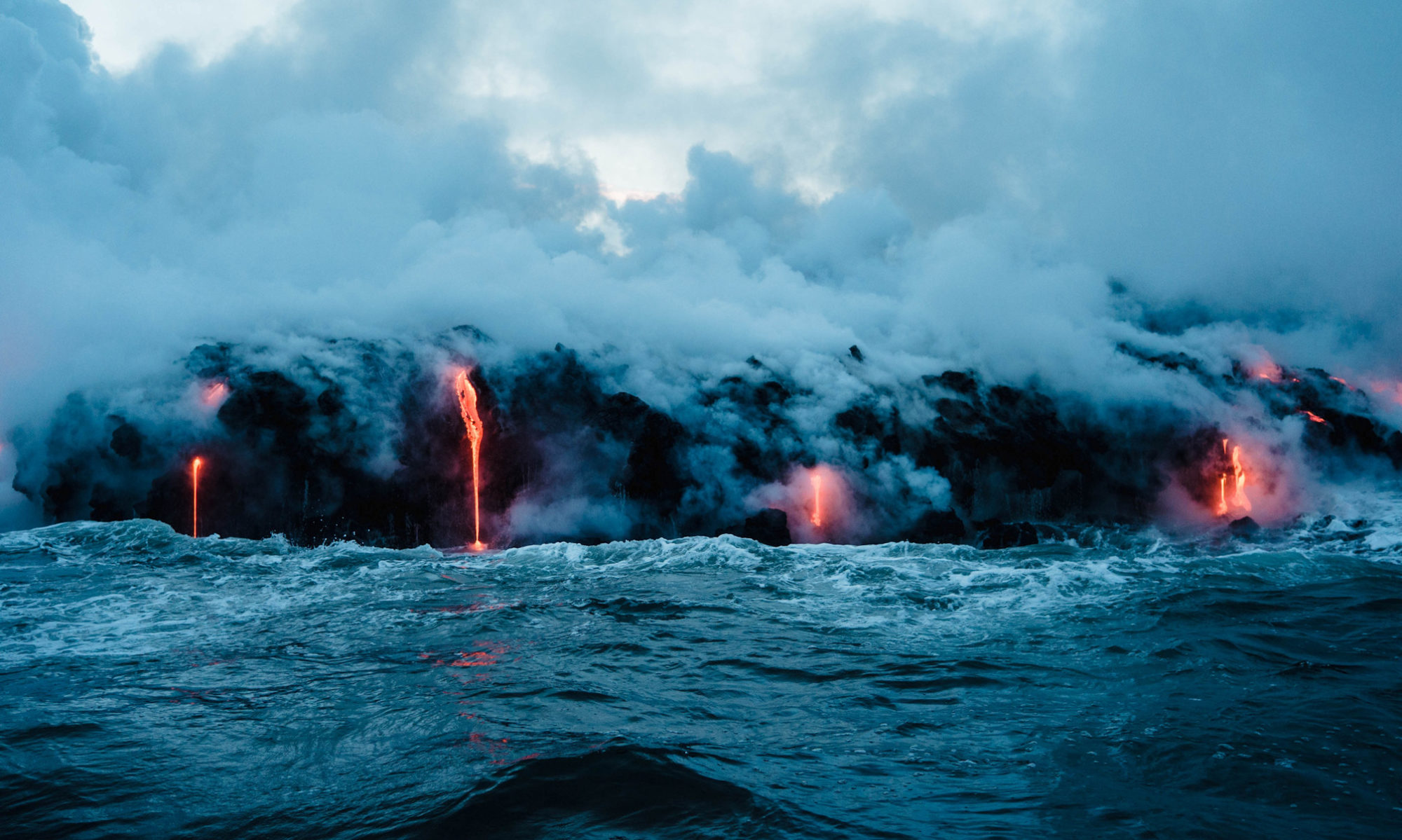
The dramatic interactions between volcanoes and glaciers have been exemplified consistently in geologic records, and no better example in recent times is that of the 2010 eruption of Eyjafjallajökull where extensive ash clouds caused by magma-ice interaction led to the shutdown of European airspace for 7 days and left millions of passengers stranded across all continents. Additionally, in 1985, the catastrophic impact of glaciovolcanic generated lahars was demonstrated by The Armero tragedy, Columbia, causing over 23,000 fatalities. Case studies such as this highlight the significance of comprehensive glaciovolcanic databases.
Innovative research such as Edwards, Kochtitzky and Battersby (2020) can help scientists and decision-makers safeguard the communities that inhabit regions of fire and ice. It may also serve as a tool to help populations living in such regions better understand the often overlooked danger that lies below the picturesque glacial landscapes.
