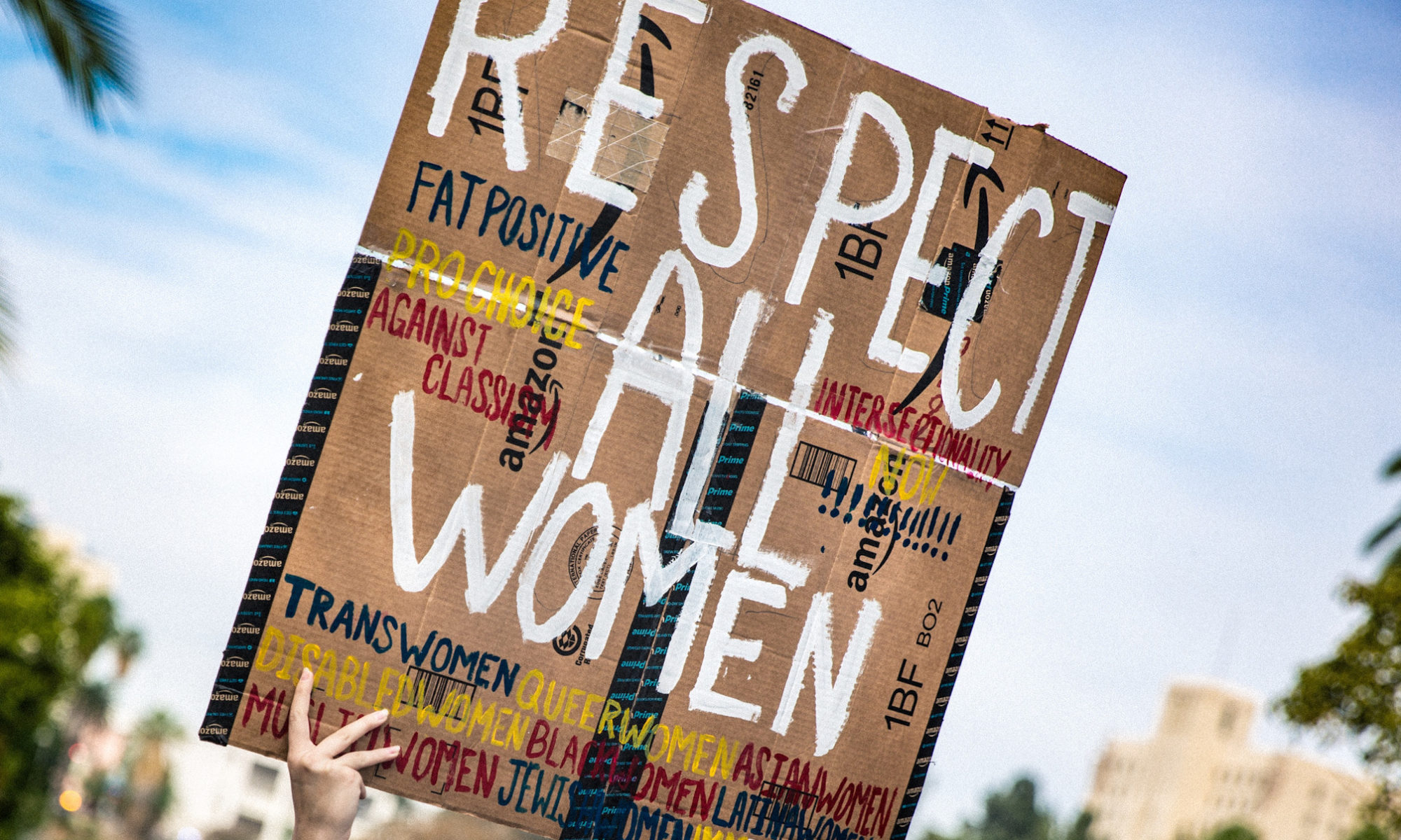

The hiking map leading to the current eruption site (image: Lava Centre)
The eruptive site will be open again.
According to the hiking map, the trailhead (blue) starts at the road close to Grindavik, dubbed as ‚E‘. Please, keep in mind, the trail is 10 km one-way and tourists are recommended to bring proper outdoor gear such as clothes, food, headlamp etc.