Dukono Volcanic Ash Advisory: ash plume to 7,000 ft (2,100 m) as of Sep 17, 01:50 UTC

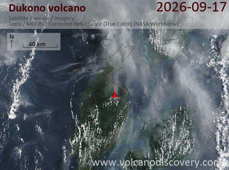
Satellite image of Dukono volcano on 17 Sep 2026

Explosive activity continues. The Volcanic Ash Advisory Center (VAAC) Darwin warned of a volcanic ash plume rising to an estimated 7000 ft (2100 m), or flight level 070, and moving at 10 kts in NE direction.
Original VAAC bulletin:

FVAU01 at 02:22 UTC, 17/09/26 from ADRM
VA ADVISORY
DTG: 20260917/0220Z
VAAC: DARWIN
VOLCANO: DUKONO 268010
PSN: N0142 E12754
AREA: INDONESIA
SOURCE ELEV: 1229M AMSL
ADVISORY NR: 2026/762
INFO SOURCE: HIMAWARI-9
ERUPTION DETAILS: VA TO FL070 EXT NE
OBS VA DTG: 17/0150Z
OBS VA CLD: SFC/FL070 N0140 E12750 - N0230 E12758 - N0216
E12821 - N0138 E12755 MOV NE 10KT
FCST VA CLD +6 HR: 17/0750Z SFC/FL070 N0139 E12755 - N0141
E12750 - N0156 E12745 - N0229 E12747 - N0214 E12830
FCST VA CLD +12 HR: 17/1350Z SFC/FL070 N0139 E12755 - N0141
E12750 - N0226 E12749 - N0225 E12809 - N0208 E12835
FCST VA CLD +18 HR: 17/1950Z SFC/FL070 N0140 E12756 - N0141
E12750 - N0226 E12747 - N0226 E12810 - N0208 E12835
RMK: CONTINUOUS VA ERUPTION IDENTIFIABLE ON SATELLITE
IMAGERY. VA HEIGHT AND MOVEMENT BASED ON SATELLITE IMAGERY
AND MODEL GUIDANCE.
NXT ADVISORY: NO LATER THAN 20260917/0820Z=
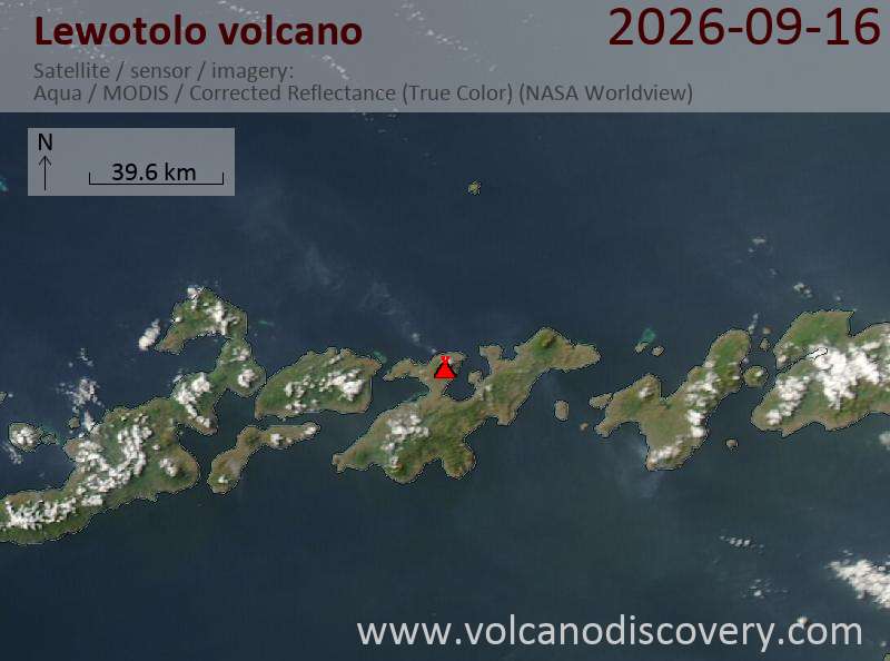
Lewotolo Volcanic Ash Advisory: ash plume to 6,000 ft (1,800 m) as of Sep 16, 23:00 UTC

Satellite image of Lewotolo volcano on 16 Sep 2026

Explosive activity continues. The Volcanic Ash Advisory Center (VAAC) Darwin warned of a volcanic ash plume rising to an estimated 6000 ft (1800 m), or flight level 060, and moving at 15 kts in NW direction.
Original VAAC bulletin:

FVAU04 at 23:25 UTC, 16/09/26 from ADRM
VA ADVISORY
DTG: 20260916/2330Z
VAAC: DARWIN
VOLCANO: LEWOTOLOK 264230
PSN: S0816 E12330
AREA: INDONESIA
SOURCE ELEV: 1423M AMSL
ADVISORY NR: 2026/243
INFO SOURCE: HIMAWARI-9, CVGHM
ERUPTION DETAILS: VA TO FL060 EXT NW
OBS VA DTG: 16/2300Z
OBS VA CLD: SFC/FL060 S0819 E12332 - S0818 E12315 - S0758
E12239 - S0738 E12304 - S0814 E12334 MOV NW 15KT
FCST VA CLD +6 HR: 17/0500Z SFC/FL060 S0819 E12332 - S0818
E12315 - S0805 E12238 - S0736 E12302 - S0815 E12336
FCST VA CLD +12 HR: 17/1100Z SFC/FL060 S0819 E12332 - S0818
E12316 - S0805 E12238 - S0736 E12303 - S0815 E12335
FCST VA CLD +18 HR: 17/1700Z SFC/FL060 S0819 E12333 - S0807
E12237 - S0736 E12303 - S0815 E12336
RMK: CONTINUOS VA ERUPTION IDENTIFIABLE ON SATELLITE
IMAGERY. VA HEIGHT AND MOVEMENT BASED ON HIMAWARI-9 IMAGERY,
GROUND REPORTS AND MODEL GUIDANCE.
NXT ADVISORY: NO LATER THAN 20260917/0530Z=

Sakurajima Volcanic Ash Advisory

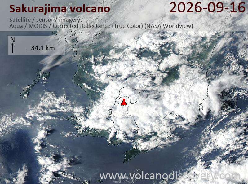
Satellite image of Sakurajima volcano on 16 Sep 2026

An eruption was reported at Sakurajima at 19:16 UTC on 16 September 2026. As of 19:10 UTC, volcanic ash was not identifiable in satellite data; no ash plume height was observed.
Original VAAC bulletin:

FVFE01 at 19:31 UTC, 16/09/26 from RJTD
VA ADVISORY
DTG: 20260916/1931Z
VAAC: TOKYO
VOLCANO: SAKURAJIMA [AIRA CALDERA] 282080
PSN: N3136 E13039
AREA: JAPAN
SOURCE ELEV: 1117M AMSL
ADVISORY NR: 2026/203
INFO SOURCE: JMA HIMAWARI-9
ERUPTION DETAILS: ERUPTED AT 20260916/1916Z OVER FL080 STNR
OBS VA DTG: 16/1910Z
OBS VA CLD: VA NOT IDENTIFIABLE FM SATELLITE DATA WIND FL180 260/14KT

FCST VA CLD +6 HR: NOT AVBL
FCST VA CLD +12 HR: NOT AVBL
FCST VA CLD +18 HR: NOT AVBL
RMK: WE WILL ISSUE FURTHER ADVISORY IF VA IS DETECTED IN SATELLITE
IMAGERY.
NXT ADVISORY: NO FURTHER ADVISORIES=

Dukono Volcanic Ash Advisory: ash plume to 7,000 ft (2,100 m) as of Sep 16, 14:20 UTC

Explosive activity continues. The Volcanic Ash Advisory Center (VAAC) Darwin warned of a volcanic ash plume rising to an estimated 7000 ft (2100 m), or flight level 070.
Original VAAC bulletin:

FVAU01 at 14:45 UTC, 16/09/26 from ADRM
VA ADVISORY
DTG: 20260916/1440Z
VAAC: DARWIN
VOLCANO: DUKONO 268010
PSN: N0142 E12754
AREA: INDONESIA
SOURCE ELEV: 1229M AMSL
ADVISORY NR: 2026/760
INFO SOURCE: HIMAWARI-9
ERUPTION DETAILS: VA TO FL070 OBS AT 16/1420Z MOV NE
OBS VA DTG: 16/1420Z
OBS VA CLD: SFC/FL070 N0138 E12755 - N0143 E12747 - N0231
E12802 - N0209 E12834 MOV NE 10KT
FCST VA CLD +6 HR: 16/2020Z SFC/FL070 N0138 E12755 - N0142
E12746 - N0231 E12802 - N0209 E12834
FCST VA CLD +12 HR: 17/0220Z SFC/FL070 N0138 E12755 - N0142
E12746 - N0231 E12802 - N0209 E12834
FCST VA CLD +18 HR: 17/0820Z SFC/FL070 N0137 E12756 - N0143
E12746 - N0231 E12800 - N0208 E12835
RMK: VA HEIGHT AND MOVEMENT BASED ON SATELLITE IMAGERY AND
MODEL GUIDANCE.
NXT ADVISORY: NO LATER THAN 20260916/2040Z=

Reventador volcano: frequent explosions and ash emissions continue

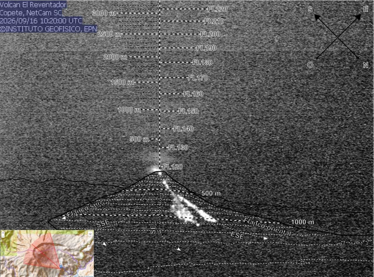
Glowing avalanche at Reventador volcano on 16 Sep 2026 (image: IGPEN webcam)

Glowing avalanche at Reventador volcano on 16 Sep 2026 (image: IGPEN webcam)

Eruptive activity continues at Reventador volcano. Ecuador’s Instituto Geofísico (IG-EPN) classified surface activity as high and internal activity as moderate in its 15 September report, with no change in either trend. The Orange Alert remains in effect.

During the reporting period from 11:00 on 14 September to 11:00 on 15 September, instruments recorded 71 explosions, six long-period earthquakes, five episodes of emission tremor and three episodes of harmonic tremor.

Monitoring cameras detected three gas-and-ash emissions rising 700-1,000 m above the crater and drifting west. Despite mostly cloudy conditions, cameras also recorded incandescent material descending as far as 1.1 km below the crater during the night and early morning.

IG-EPN data for 9-16 September indicated 67-108 explosions per day. Ash-and-gas plumes observed on most days rose as high as 1.4 km above the crater and mainly drifted northwest, west and southwest.

At 02:58 UTC on 16 September, the Washington Volcanic Ash Advisory Center reported a webcam-observed ash emission reaching about 4.6 km above sea level, approximately 1 km above the summit. The cloud was moving west-northwest at about 10 knots, although meteorological clouds prevented confirmation in satellite imagery.