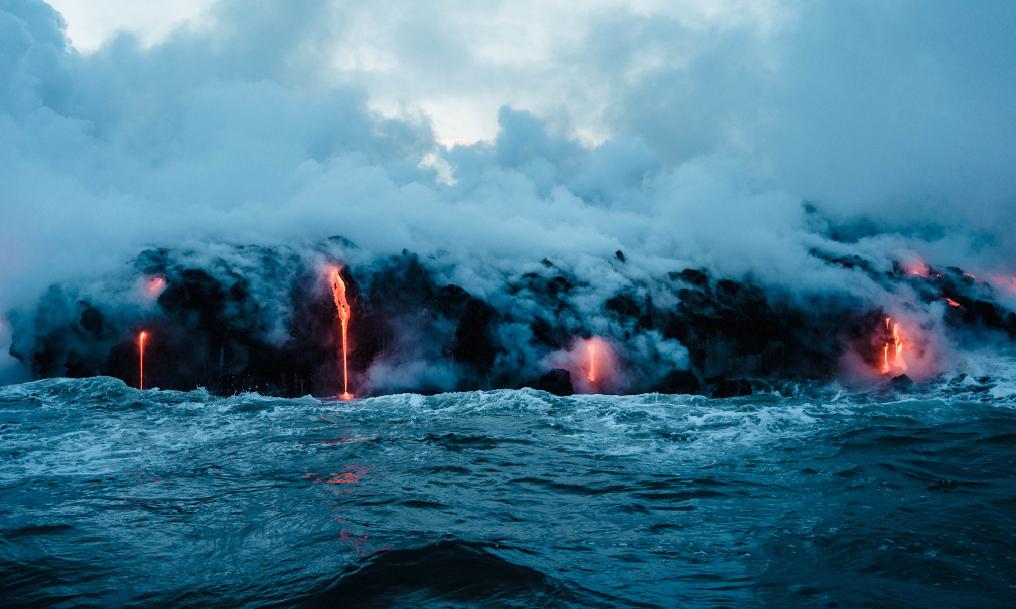

When discussing ‘volcanic eruptions’, those from submarine volcanoes are often overlooked, with terrestrial volcanic eruptions attracting the most attention due to their spectacular, awe-inspiring displays of vast ash dispersal and a multitude of associated hazards. Deep-ocean, submarine eruptions have been attributed to only producing slow moving lava flows.
New research published in Nature Communications, by Pegler and Ferguson from the University of Leeds, and using data collected in the Northern Escanaba Trough at the Gorda Ridge, NE Pacific, has revealed a link between the way ash is dispersed during submarine eruptions and the creation of immense, powerful columns of heated water rising from the ocean floor, known as megaplumes.
Megaplumes act in the same way as volcanic plumes on land, carrying hot, chemical-rich water and volcanic ash outward from the volcano with a column branching out into an umbrella-form whereby the tephra then falls out and settles on the ocean floor.
Scientists have long been fascinated with the idea of oceanic megaplumes and their deep origins, especially theories on how humanity can potentially utilise the natural energy they emit.
Megaplume origin was previously unknown, however these new findings suggest they form rapidly during the eruption of lava. Pegler and Ferguson developed a model using a dataset of tephra deposition from a single isolated submarine eruption, the basaltic Northern Escanaba (NESCA) lava flow. This enabled the scientists to devise a simulation to approximate the magnitude of the volcanic activity.
Pyroclasts (eruptive fragments) up to 1mm in size were sampled and mapped around the lava flow via pushcores collected by a remotely operated vehicle – this revealed lateral transport distances exceeding 5 km in all directions from the source. The study suggests these extensive radial dispersal distances observed at NESCA cannot be explained by advection within either deep-ocean currents or tidal currents. An alternative transport mechanism – buoyancy-driven spreading – was the likely cause.
To create this vast submarine tephra dispersal, Pegler and Ferguson’s model shows that a powerful energy discharge (~1-2 TW) is required to form a hydrothermal megaplume in a matter of hours; most obtainable during active magma extrusion when there is opportunity of additional heat input via rapid evacuations of hot hydrothermal fluids. It concludes that submarine volcanic eruptions lead to the rapid emptying of reservoirs of hot fluids within the earth’s crust. The research shows that the rate of energy released and required to carry ash to the observed distances is at a rate high enough to power the entirety of the United States.
The next step in this area of volcanology is to gather real-world data to support this theory. As stated by Ferguson “Efforts like these, in concert with continued mapping and sampling of the ocean floor means the volcanic character of our oceans is slowly being revealed.”
With the ever-growing demand to shift to utilising more sustainable energy sources, creative solutions will be required. Extracting energy from submarine volcanic sources may be an option – how this power could be captured and converted into meaningful energy remains a challenge for future studies but, as demonstrated in the last year, the innovative capabilities of scientists should not be underestimated.


